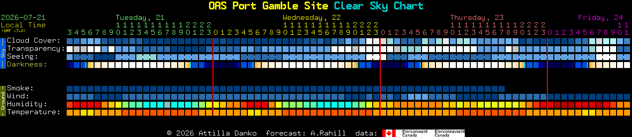
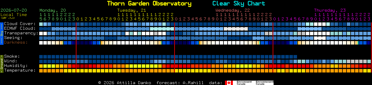
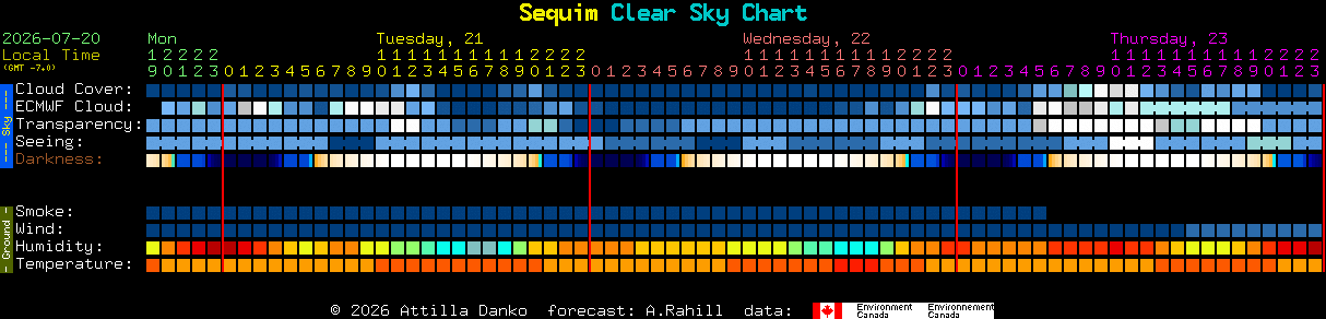
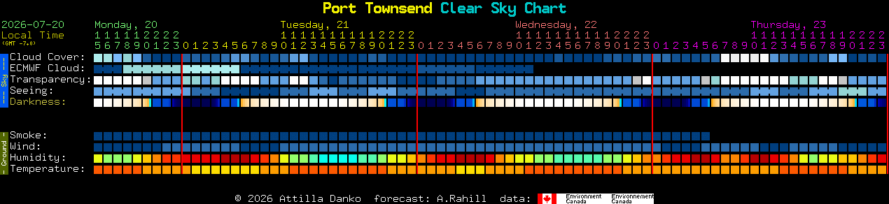
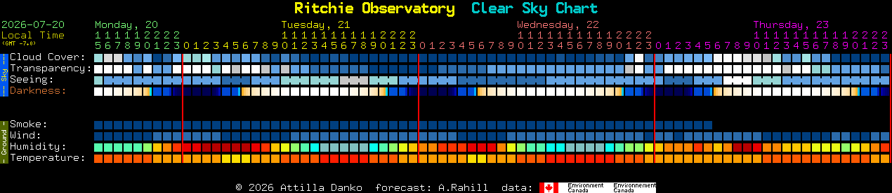
We use ClearDarkSky to figure out great places to view the night sky. ClearDarkSky is a specialized weather-forecast site for stargazers. Its hourly, color-coded block charts predict cloud cover, atmospheric transparency, darkness, smoke, wind, humidity, temperature, and “seeing,” meaning how steady the atmosphere will be for telescope viewing. Dark-blue blocks generally indicate better observing conditions.
For stargazers in the Olympic Peninsula, it can help answer a practical question: “Is it worth heading outside tonight, and where should I go?” Local charts are available for places including Port Townsend, Sequim, the Port Angeles area, Hurricane Ridge, Kalaloch Beach, and Puget Sound communities. Comparing them can help stargazers, photographers, astronomy programs, and Bortle Brigade volunteers choose the clearest location and best hour rather than relying on a general daytime weather forecast.
Below are current conditions for areas around the Olympic Peninsula. Click the chart to view a larger version and a guide for interpreting the color coding for each row. You can also view a map of charts for the entire state of Washington.
Port Angeles
Sequim
Bainbridge Island
Port Gamble